
The municipality’s CLIMAAX work focuses on risks that directly affect residents, farming and natural ecosystems. Drought and water salinisation put pressure on agricultural livelihoods, while wildfires threaten homes and infrastructure. Extreme rainfall and flooding are further concerns raised in the local assessment and stakeholder discussions.
Community experience informs the assessment
Following an initial workshop in 2025, residents contacted the project team to share their observations. Local practitioners were subsequently included as workshop speakers, helping connect scientific analysis with conditions experienced in the municipality.
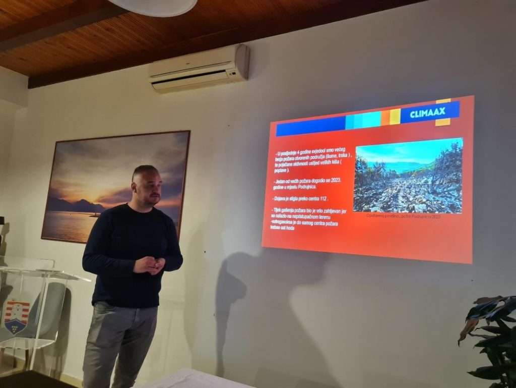
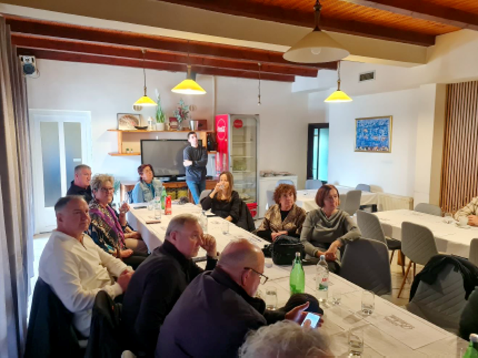
On 18 March 2026, a workshop brought together 32 stakeholders from Kula Norinska, Metković and Bosnia and Herzegovina. Contributions from the local volunteer fire brigade and primary school leadership added practical perspectives on fire preparedness and the role of education. Discussions covered drought and biodiversity, alongside wider environmental issues, including light pollution and green energy.
Mapping differences between settlements
The technical assessment examines differences within the municipality. The maps show historical drought exposure for the population and relative drought risk for agriculture, alongside population exposure to wildfire conditions. The historical population maps place Krvavac and Krvavac II among the settlements with the highest combined hazard and population exposure scores.
Future maps explore lower and higher emissions pathways towards the end of the century. Drought projections cover 2071–2100, while the wildfire projections cover 2071–2098. They retain present-day population exposure, allowing the team to examine changing climate hazards without assuming future demographic change.
These spatial differences provide a basis for discussing where preventive action and further investigation are most needed. Adaptation priorities being considered include safeguarding water for households and irrigation, protecting ecosystems affected by drought, and strengthening fire prevention and civil protection preparedness.
Combining the maps with residents’ experience can help the municipality identify measures suited to each settlement and connect the assessment with water management, spatial planning and emergency planning. Continued community involvement will help keep those decisions grounded in local needs.