To actively shape the future of climate resilience and sustainability, a dedicated stakeholder workshop was recently hosted in the Aveiro Region. This collaborative session, driven by the ongoing CLIMAAX4CIRA project, was led by the Intermunicipal Community of the Aveiro Region (CIRA) with the technical and scientific support of the University of Aveiro. The event engaged regional actors and stakeholders from the 11 municipalities that comprise the Aveiro Region, bringing together professionals from environment departments, civil protection, and other key sectors for a critical evaluation of territorial climate risks.
Reviewing the Initial Climate Diagnosis
During the event, participants were presented with Phase 2 of the project, featuring the Initial Climate Diagnosis. Based on the applied methodology, the team shared detailed maps and projections illustrating the primary risks affecting the region:
- Heatwaves: Highlighting the relative change and progressive increase in risk for vulnerable population groups.
- Droughts: An analysis of potential economic losses in agriculture due to precipitation deficits, specifically impacting crops like beans, corn, potatoes, and rice.
- Heavy Rain and Floods: Spatial projections for extreme precipitation events, alongside the temporal evolution of coastal and river flood extents across the territory.
- Wildfires: Identification of critical areas through a multidimensional optimization applied to the final vulnerability index.
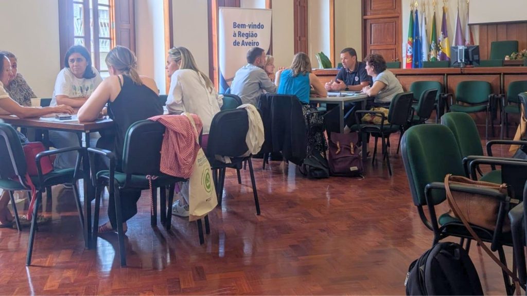
Co-creation and Action: The Voice of Stakeholders
The core of the workshop was a multi-sectoral co-creation and discussion activity designed to turn these assessments into an actionable baseline for future planning. Divided into working groups, participants actively debated the presented results across four fundamental pillars:
- Suitability and Perception: Participants reflected on whether the presented risk maps and data accurately mirror the reality they already experience daily in their respective sectors and municipalities.
- Consequences and Implications: Direct consequences for the region were identified, focusing on which infrastructures, populations, and livelihoods will be most affected.
- Limitations and Gaps: The groups discussed what might be missing from the current risk assessment and pinpointed vulnerable areas that the approach may not have fully captured, ensuring their inclusion moving forward.
- Utility and Action: Discussions centered on practical ways organizations and municipalities can utilize these risk maps in day-to-day operations and future planning, as well as identifying the most urgent adaptation measures or projects to implement on the ground.